
Little Cypress Creek and Krause Springs Occurrence of Flowing Water
Project Summary
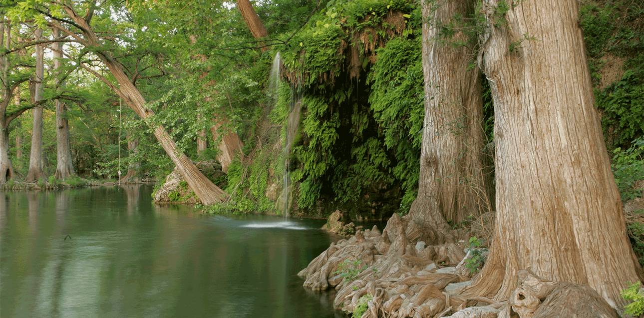
Little Cypress Creek and Krause Springs are at a crossroads as rapid growth in the Austin region intersects a fragile groundwater-fed ecosystem. The combined effects of increased groundwater pumping, extended droughts, and climate change influences recharge and spring flow from the aquifers and springs of the area.
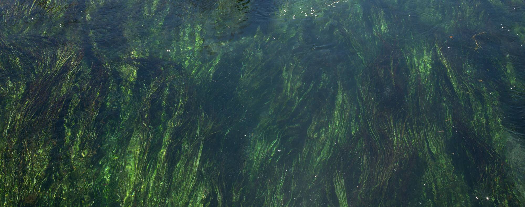
Little Cypress Creek and Krause Springs make up a small but important tributary of the Colorado River that flows into Lake Travis, which supplies drinking water to millions of people in the City of Austin and many other downstream communities. Multiple aquifers contribute to flow in the Little Cypress Creek and springs in the area, but there is a lack of research and knowledge about the contributing and recharge zones within the system.
A recharge zone is the area of land above an aquifer where surface water soaks back into the ground or travels through cracks or fractures between rocks deep into the earth. The contributing zone, or drainage area, of an aquifer includes all watersheds that feed runoff into rivers and streams that flow over the recharge zone.
The Meadows Center and the Central Texas Groundwater Conservation District are implementing a long-term monitoring program of surface water, groundwater, and precipitation for the Little Cypress Creek watershed. Data will be collected from groundwater level monitoring wells, weather stations, and four synoptic stream flow measurement events along the Little Cypress Creek watershed to gain a comprehensive picture of the groundwater and surface water interactions within the watershed.
Preliminary results of the efforts will be shared with the Krause Springs Stakeholder Committee to address any potential data gaps or enhancements. The results will be presented at a public meeting hosted by the Meadows Center and CTGCD which will serve as a planning tool for the community as well as for local and state officials to make informed decisions about the management of these water resources.
Ultimately, information gained from the study could culminate in the development of a conceptual and numerical groundwater flow model, which can help decision-makers identify areas that contribute to aquifer recharge and evaluate the potential impacts of land and water management actions within the watershed.
Project Resources
- Krause Springs Occurrence of Flowing Water, Burnet County, Texas - Phase 1 - January 2021
- Krause Springs Occurrence of Flowing Water, Burnet County, Texas - Phase 2 - November 2022
News Articles
-
Stakeholder committee needed for Krause Springs, Little Cypress Creek watershed project - Daily Trib News, October 2021
-
Water watchdogs to unlock mysteries of Krause Springs - The Highlander, October 2021
- Study shows water flows in Burnet County at stake - The Highlander, June 2022

Funder
This project was made possible through the generous support of the Central Texas Groundwater Conservation District.