
How Much Water is in the Pedernales Watershed?
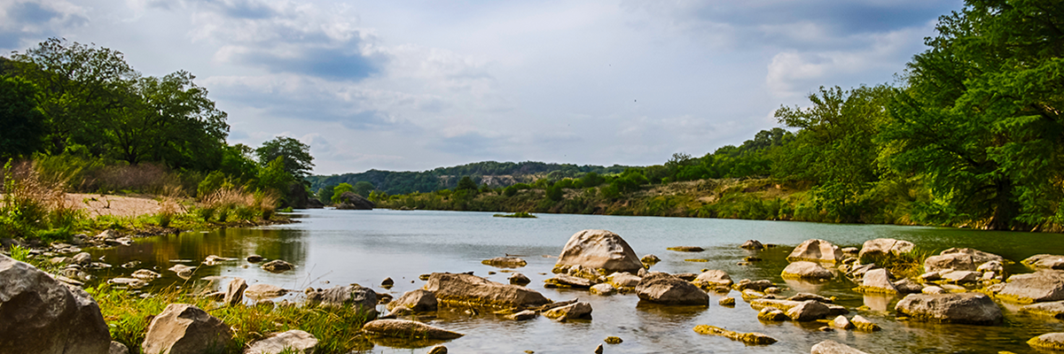
The Pedernales River flows over 100 miles from Kimble County until it merges with the Colorado River at Lake Travis. It covers a watershed area of nearly 1,300 square miles, across six Central Texas counties — Kimble, Kerr, Gillespie, Blanco, Hays and Travis. It supplies drinking water for thousands of people. It fosters a sensitive ecological system — including 19 rare plant species and dozens of fish species. It also feeds numerous watering holes and recreation areas, including nearly 9,000 acres of parkland, in areas such as Hamilton Pool Preserve, Milton Reimer’s Ranch Park, Westcave Preserve, Pedernales Falls State Park, LBJ National Historic Park and others.
Click on the tabs below to learn about The Meadows Center's research project on the Pedernales River watershed as part of a broader program to answer the question: “How Much Water is in the Hill Country?”
-
STEP 1: Flowing Water Inventory: the Pedernales “Hydro-Blitz”
The Pedernales River, which provides a significant 23 percent of the inflows into Lake Travis, was selected as the first watershed to study.
The research team’s first task was to measure surface flows in the 100+-mile-long river—from its headwaters west of Fredericksburg near Harper, to its confluence with Lake Travis. The goal was to observe and document flowing water in the river and its tributaries during summertime baseflow conditions — when surface water flows are primarily supported by flowing springs. In the summer of 2015, seven teams of two persons each observed surface water flow at 931 sites across a period of two days. This significant effort was dubbed the “hydro-blitz” by participants.
-
STEP 2: Aquifers Produce Baseflow
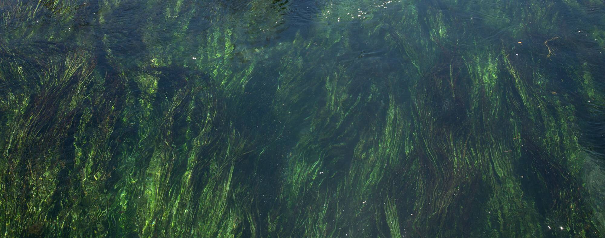
It is not uncommon to see numerous segments of Hill Country tributaries and rivers dry up in the hot summer months. During the 2015 summer hydro-blitz, only 17 percent of the 931 sites registered flowing water. However, a second study within the same time period used geochemical clues within the existing flow to pinpoint the geologic source (aquifer) of that baseflow. This hydrogeological analysis indicates that springflow feeding the river originates from not one, but several aquifers—primarily the Trinity, Edwards-Trinity Plateau, Marble Falls and the Ellenburger-San Saba aquifers. The various springs and fractures within the riverbed allow water to flow freely between the aquifer (groundwater) and the river (surface water)—providing an intricate and irrefutable interaction throughout the river’s length.
-
STEP 3: Land Cover and Water Quality: Land use determines the health of the river!
In comparing 2015 water quality data against a 1962 study by the U.S. Geological Survey, some water quality readings showed improvement since the ’62 study. It is speculated that improved wastewater treatment practices could be the cause.
Conversely, data collected at certain points along the river showed an increase in several inorganic constituents such as chloride. Comparing changes in land use patterns with the data points indicate a potential correlation between increases in developed land cover and higher levels of inorganic constituents within the river.
-
STEP 4: Gain/Loss Indicators
In the summer of 2016, a third team of scientists, students and partners conducted a gain/loss (G/L) study to better understand current groundwater/surface water interactions throughout the length of the Pedernales River. Segments of the river that are gaining, or showing an increase in the flow rate, indicate regions where springflow, tributaries and runoff are contributing to the river’s baseflow. Losing segments of the river, meaning a decrease in flow, indicate that surface water is seeping into the ground through recharge features in the riverbed—caves, holes, and fissures.
Benefits of the Gain/Loss study:
- Indicates locations of interaction between surface and groundwater
- Identifies river segments most vulnerable to groundwater pumping (gaining segments)
- Identifies river segments most vulnerable to proximate land use activity (losing segments)
- Guides management and conservation practices at a local scale
The most recent comprehensive G/L study took place in 1962, more than 50 years ago. When comparing 2016 to 1962 data, the Pedernales River was found to have changed very little with respect to the gaining and losing portions of the river.
-
STEP 5: Findings
The Meadows Center research has delivered a greater understanding of the river’s movement, overall quality, and its response to land use and activity over time. Below are some key insights:
- Water quality in the Pedernales River is generally good.
- Flow can be influenced by groundwater pumping activities. (how was this determined?)
- Headwater springs are the source of the Pedernales River during baseflow conditions and are very important to the health of the river.
- A clear relationship exists between geologic data and surface/groundwater interactions. (how can we state this relationship?)
- Small but discernable threats to water supply and water quality are present and increasing, such as
• Population growth, development and land use changes
• Wastewater discharges from municipalities
• Increased groundwater pumping
Project Resources
- Knowledge, Perceptions and Understanding of Groundwater and Groundwater Issues: A Texas Survey - July 2018
- Pedernales Watershed Strategic Conservation Prioritization - June 2018
- Pedernales River 2017 Stormwater Sampling - January 2018
- Pedernales Watershed Atlas - November 2017
- Pedernales Falls State Park Spring Dye Trace Project: Determining the Source of the Spring at Pedernales Falls State Park. - October 2017
- How Much Water is in the Pedernales? Handout. - October 2017
- Determining the Source of Base Flow to the Pedernales River in Northern Blanco, Hays and Travis Counties. (Appendix A) - September 2017
- How Much Water is in the Pedernales? Occurrence of Flowing Water and Water Quality during Base Flow Conditions in the Pedernales River Basin (Appendix A) (Appendix B) - January 2017
- Geochemical Clues to Groundwater Sources of the Pedernales River - May 2016
- Interim Report: How Much Water is in the Pedernales? Conservation Strategies, Management Approaches, and Action Plan (Appendix A) (Appendix B) - September 2015

Funder
This project was made possible through the generous support of The Cynthia & George Mitchell Foundation.