
Revisiting Gunnar Brune’s “Major and Historical Springs of Texas”
Project Summary
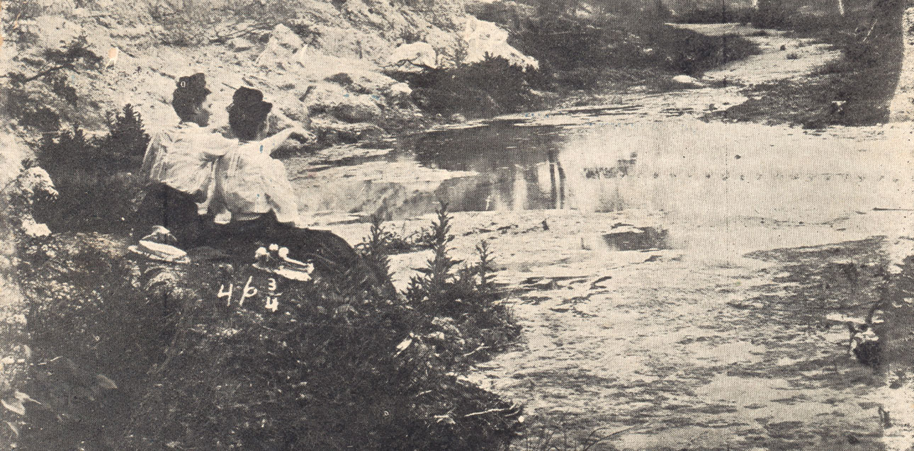
In 1975, nearly 50 years ago, Gunnar Brune published a report at the Texas Water Development Board titled “Major and Historical Springs of Texas.” In this report, he quantified the number of springs that had gone dry by that time. To our knowledge, no one has revisited that study to determine the current status of those springs. When Brune did his study, groundwater users had produced about 250 million acre-feet of water from the state’s aquifers. Today, about 700 million acre-feet of water—nearly three times as much—has been produced, thus leading to our hypothesis that more springs have gone dry since Brune published his 1975 report. To test this hypothesis, we evaluated the current status of springs in his report.
We located springs in the report through a combination of Brune’s approximate latitude-longitude coordinates, descriptions in his report and book; The Springs of Texas, Volume 1, published in 1981; current and historical U.S. Geological Survey topographic sheets, Google Maps and Google Earth Pro, the Texas Water Development Board’s Groundwater Data Viewer and, for difficult-to-locate springs, other external sources, including historical reports and maps, the Texas Springs Facebook Group, and site visits. We then assessed flow status through Google Earth Pro, the Texas Water Development Board’s Groundwater Database Viewer, the Texas Springs Facebook Group, and site visits.
We identified discrepancies in the flow status of springs between the 1975 report and the 1981 book. After correcting the flow status of springs in the 1975 report with those in Brune’s 1981 book, we found that 14 percent of springs had gone dry by 1981, with 23 percent of springs dry today, an increase of 64 percent. Because Brune’s book did not include the entire state and we found the book’s information to be more reliable, we refined our analysis to include only those springs shared between the report and the book. This refined analysis showed that 11 percent of springs had gone dry by 1981 compared to 30 percent today, an increase of 173 percent, or 2.7 times more.
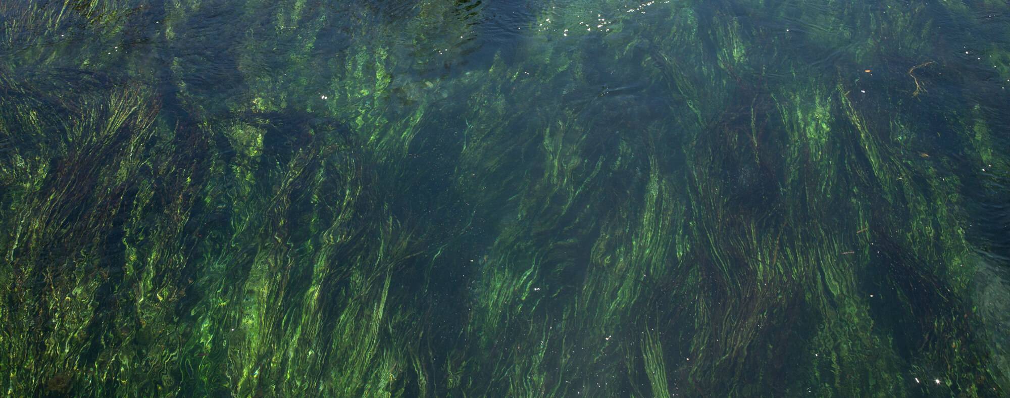
We also found that springflow volumes follow a power-law—or fractal—distribution with a fractal dimension of 0.72. Using the fractal relationship and correcting for a physical upper limit, we estimated total springflow in the state at 2.1 million acre-feet per year. This compares to Brune’s speculation that total statewide springflow probably amounted to about 3 million acre-feet per year and to a range of estimates of groundwater discharge to surface water in the state from 1.3 million to 9.3 million acre-feet per year.
Project Resources
- Revisiting Gunnar Brune’s “Major and Historical Springs of Texas” with an Analysis of the Fractal Character of Springflow (Meadows Report) – February 2024
- Supplemental Notes on Locating Springs – February 2024
- Springs Database – February 2024
- Major and Historical Springs of Texas – Gunnar Brune, Texas Water Development Board
- Groundwater Database Viewer – Gunnar Brune, Texas Water Development Board
Project Leads

Robert Mace, Ph.D., P.G.
Executive Director & Chief Water Policy Officer
Professor of Practice, Department of Geography
(512) 245-6021
rem142@txstate.edu
Faculty Profile

Nohemi Galaviz
Undergraduate Student – Wildlife Biology, Texas State University
mimigalaviz@txstate.edu
Funders
This project was made possible through the support of the U.S. Department of Education's Federal Work-Study Program, the National Oceanic and Atmospheric Administration, and the Meadows Center Water Policy Program Endowment, which was made possible by The Meadows Foundation.