
Texas Coastal Hydrologic Monitoring Project: Shaping the Future of Coastal Hydrologic Monitoring
All content on this page is the property of the Texas Coastal Hydrologic Monitoring Project.
Project Summary
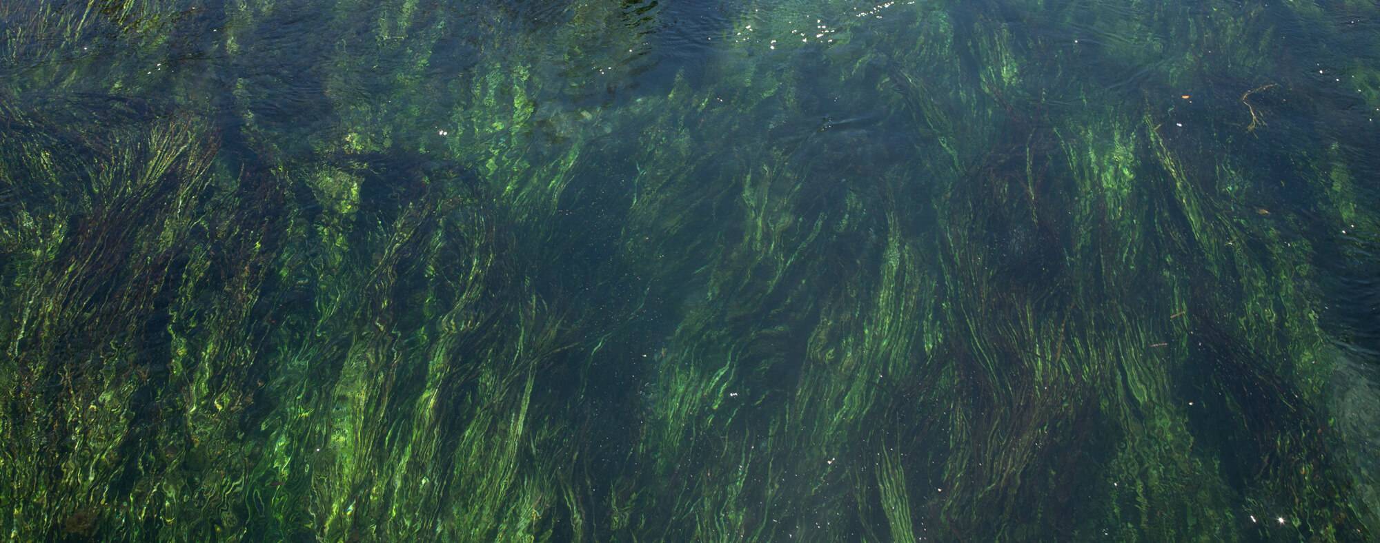
The Meadows Center, in collaboration with the U.S. Geological Survey, is developing a sustainable long-term hydrologic monitoring framework for the Texas coast to further understand the complex interactions between natural systems and human activities. Gaining insights into these interactions provides valuable information about the health and productivity of coastal ecosystems, which can help us protect against natural disasters and make informed decisions about managing and preserving our coastal regions.
This project will leverage existing continuous monitoring infrastructure, optimize resource utilization, and identify opportunities to expand and improve hydrologic monitoring activities to achieve comprehensive coastal coverage. Continuous hydrological monitoring can identify trends and changes to water quality and quantity, allowing for the development of targeted strategies that mitigate negative impacts, protect, or restore coastal habitats that provide critical services. The continuous flow of data will enable better modeling and forecasting of future hydrological conditions, ensuring that Texas remains prepared for environmental shifts and challenges.
Funded through the Texas General Land Office, this project aims to establish a Long-Term Coastal Hydrologic Monitoring Framework through a stakeholder-driven process. A Stakeholder Workgroup will guide the program’s design, ensuring it meets the needs of local communities and ecosystems. This collaborative approach will result in targeted strategies to safeguard coastal habitats vital for environmental and economic resilience. A series of stakeholder workshops will take place to compile recommendations for objectives, design, and environmental parameters.
Key components of the project include creating a detailed inventory of existing long-term monitoring stations, conducting field surveys to identify data gaps and needs for infrastructure improvements, and developing an interactive web map for visualization and hydrologic data accessibility, and recommending improvements to the current network. Ultimately, this project will deliver a cost-effective, resilient framework for long-term coastal hydrologic monitoring, which is essential for preserving the health and sustainability of the Texas coast.
Key Partners and Stakeholders
- Texas State University – The Meadows Center for Water and the Environment
- United States Geological Survey (USGS)
- Texas General Land Office (GLO)
- Universities and research institutions
- Local, state, and federal agencies
- Community groups and environmental advocates
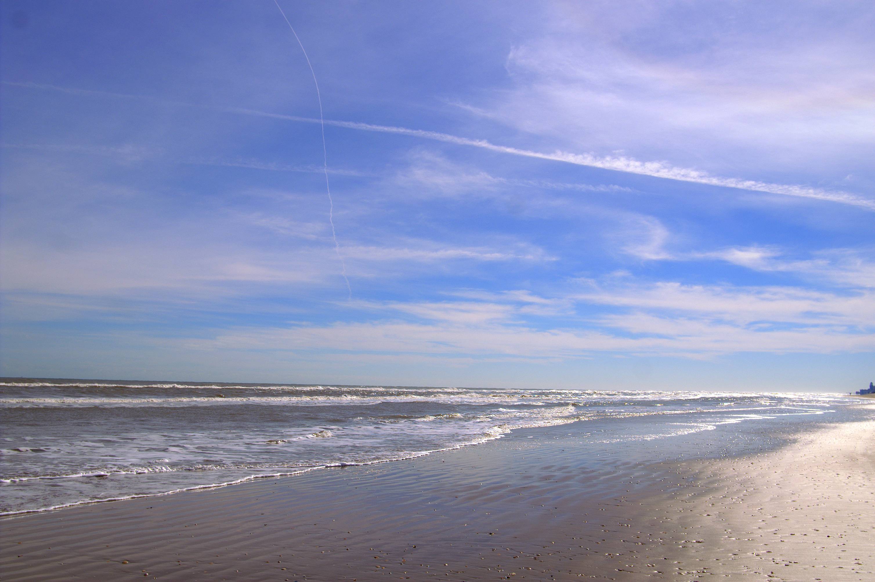
Geographic Scope
Coastwide, following the Coastal Zone Boundary as Defined by the Texas General Land Office: Coastal Zone | Texas General Land Office GIS Data
Project Resources
- Coming soon!
Project Lead

Christina Lopez, Ph.D.
Deputy Director of Watershed Studies
(512) 245-0955
christina.lopez@txstate.edu
Funder
This project was funded in whole through a grant from the Texas General Land Office (GLO) providing Gulf of Mexico Energy Security Act of 2006 funding made available to the State of Texas and awarded under the Texas Coastal Management Program. The views contained herein are those of the authors and should not be interpreted as representing the views of the GLO or the State of Texas.