

The Firm Yield of Rainwater Harvesting in Texas
Project Summary
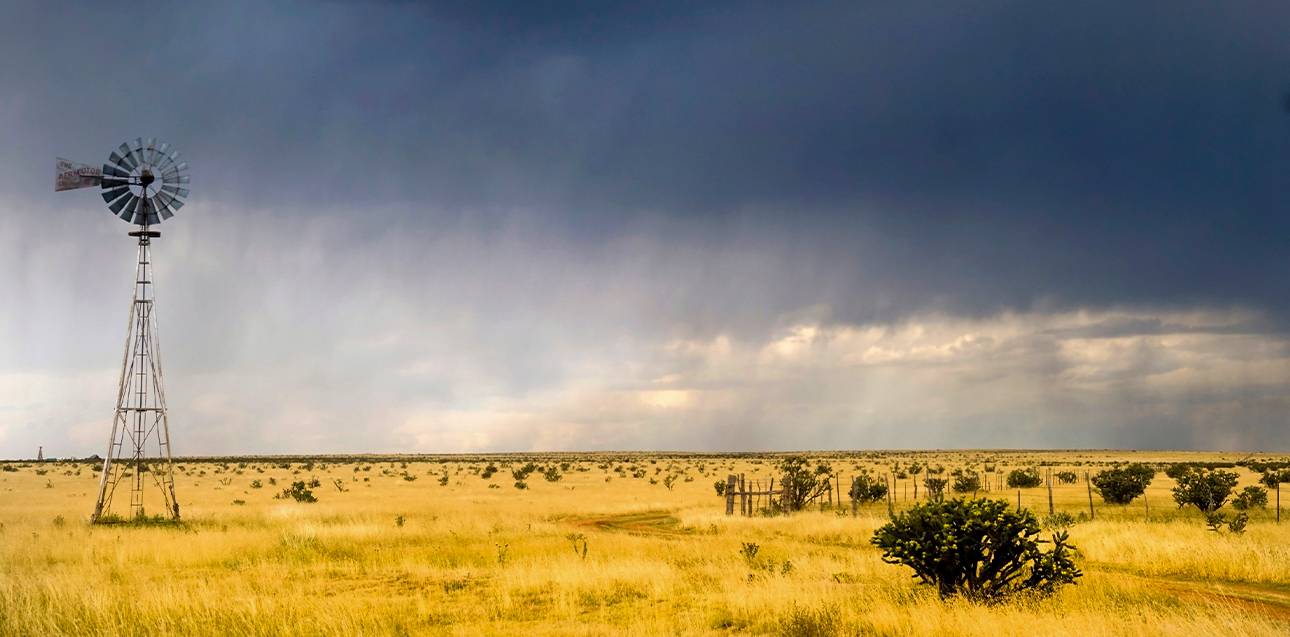
In Texas, rainwater harvesting has historically been an alternative source of water for centuries. However, it currently accounts for only a small portion of the state’s supply and is rarely considered in formal water planning, often because it is seen as too unreliable to be a dependable resource. To challenge these assumptions, the Meadows Center conducted a study to evaluate the firm yield of rainwater harvesting across the state to quantify the reliability of household-scale systems. In water planning, firm yield is defined as the amount of water a system can provide as a 100-percent reliable supply under drought-of-record conditions.
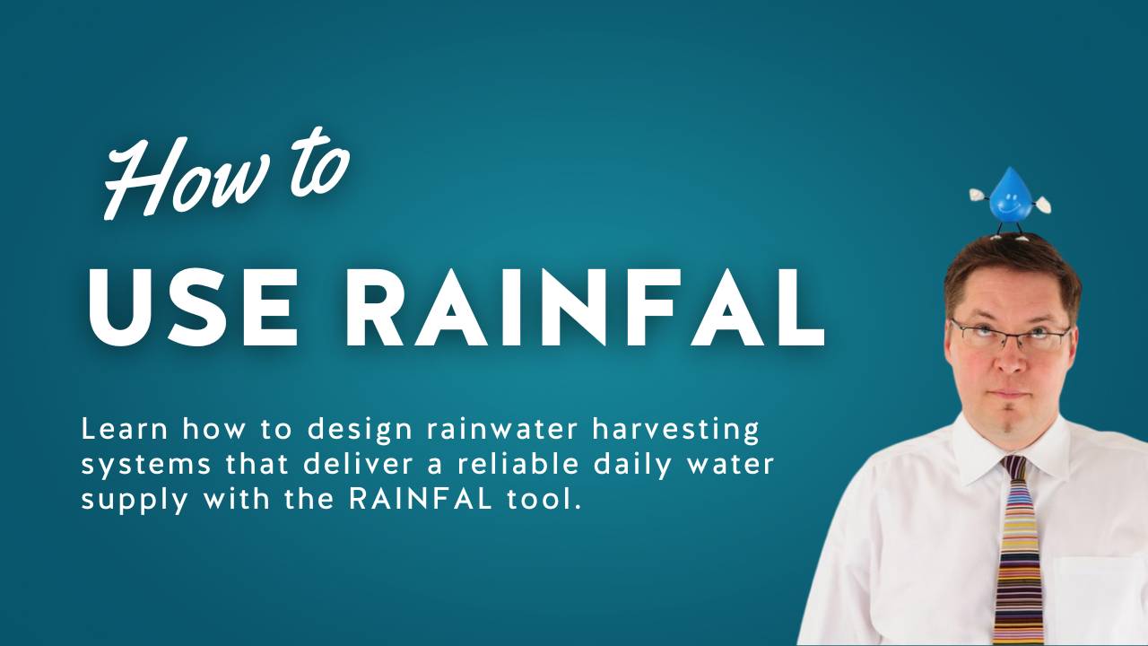
As part of the study, researchers developed the Rainwater Assessment and Interactive eNumator for Firm-yield Analysis Limits (RAINFAL), a free spreadsheet-based tool that allows users to test different system designs. Using RAINFAL, the team modeled a range of catchment (roof) sizes, storage capacities, and household daily use at 19 locations representing all regional water planning areas in the state to calculate the “firm yield” of rainwater systems.
Key findings include:
- It works anywhere in Texas. With the right roof and tank size, a rainwater system can provide 100% of a household’s needs even in the driest regions, like El Paso.
- Bigger roof, bigger tank = more reliability. In wetter areas, a modest roof and storage tank can provide a home with a year-round supply. In drier areas, larger catchments and tanks are needed, but it’s still doable.
- Drought isn’t a deal-breaker. How reliable the system is depends more on its design (such as roof size, tank capacity, and water usage) than on where it’s located or the region’s historical drought record. That means design matters more than geography.
- It won’t drain rivers or aquifers. Even if every roof in Texas harvested rain, the reduction in runoff and recharge would be less than 1%, which is a negligible amount compared to what’s already lost to pavement and other urban development.
By making the RAINFAL tool publicly available, the Meadows Center aims to provide homeowners, builders, planners, and policymakers with a practical way to evaluate rainwater systems and to consider them as part of the state’s long-term water management strategies.
The full report, user guide, and RAINFAL tool are available below.
Project Resources
RAINFAL Tool Downloads
Location | Regional Planning Area |
|---|---|
| Abilene (XLSX, 6.03MB) | Region G (Brazos) |
| Amarillo (XLSX, 5.74MB) | Region A (Panhandle) |
| Austin (XLSX, 6.2MB) | Region K (Lower Colorado) |
| Brownsville (XLSX, 5.76MB) | Region M (Rio Grande) |
| Corpus Christi (XLSX, 5.66MB) | Region N (Coastal Bend) |
| Dallas (XLSX, 6.09MB) | Region C (Upper Trinity) |
| Del Rio (XLSX, 4.75MB) | Region J (Plateau) |
| El Paso (XLSX, 6.14MB) | Region E (Far West Texas) |
| Fort Davis (XLSX, 7.11MB) | Region E (Far West Texas) |
| Hallettsville (XLSX, 9.07MB) | Region P (Lavaca) |
| Houston (XLSX, 5.72MB) | Region H (Lower Trinity) |
| Laredo (XLSX, 4.52MB) | Region M (Rio Grande) |
| Lubbock (XLSX, 5.69MB) | Region O (Llano Estacado) |
| Lufkin (XLSX, 5.65MB) | Region I (East Texas) |
| Midland (XLSX, 7.76MB) | Region F (North Central Texas) |
| San Angelo (XLSX, 5.77MB) | Region F (North Central Texas) |
| San Antonio (XLSX, 5.62MB) | Region L (South Central Texas) |
| Texarkana (XLSX, 8.37MB) | Region D (North East Texas) |
| Waco (XLSX, 6.07MB) | Region G (Brazos) |
| Wichita Falls (XLSX, 8.36MB) | Region B (Red River) |
Project Leads

Ricardo Briones
Former Meadows Center Research Assistant

Robert Mace, Ph.D., P.G.
Executive Director & Chief Water Policy Officer
Professor of Practice, Department of Geography
(512) 245-6021
rem142@txstate.edu
Faculty Profile
Funders
Funding for the study was provided by The Meadows Foundation and the National Oceanic and Atmospheric Administration. Funding for outreach associated with this research was provided by H-E-B.